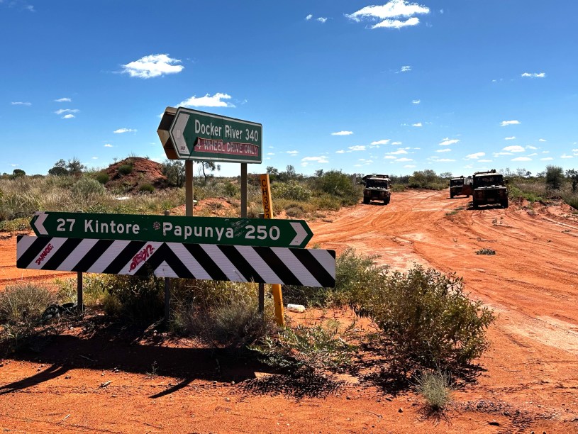
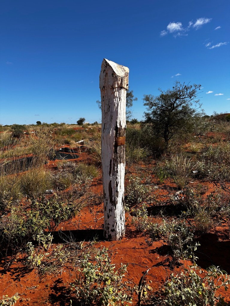
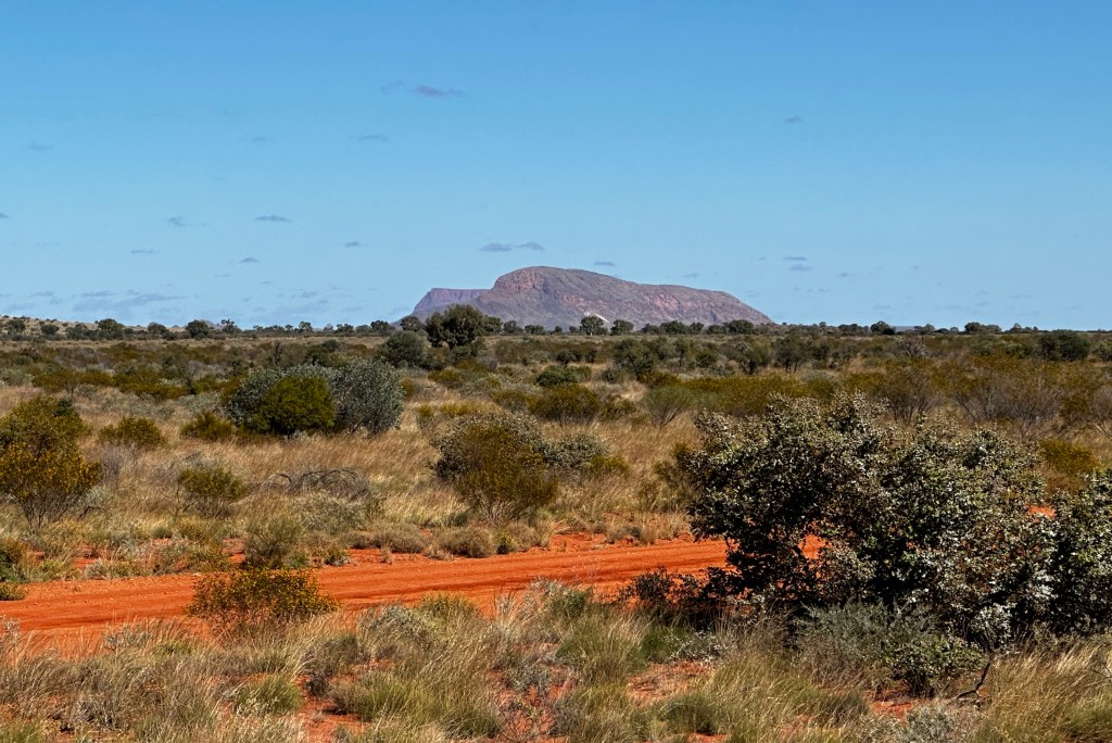
Among all the rutted and rocky, dusty, muddy and corrugated highways and byways of central Australia, this may be the only true crossroads. To the north is the little-used track to Nyirrippi and Yuendumu; from east to west, Gary Junction Road connects the Red Centre with the Pilbara in WA; and from the south comes Sandy Blight Junction Road, winding its way some 300km along and across the WA/NT border to reach this spot in the middle of nowhere. Sandy Blight was the colonial outback word for what elsewhere had been known as ophthalmia, a crippling form of conjunctivitis that could lead to blindness and which had been common in remote harsh, hot and dry environments.
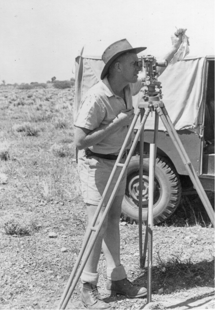
In the 1950s and early 60s, most of the major remote outback roads that are today enjoyed by 4WD enthusiasts were constructed by renowned bush surveyor Len Beadell and his construction team. In 1960, Beadell and his men were heading north constructing the track that was to become Sandy Blight Junction Road when Beadell became stricken with sandy blight. In his later writings he described his eyeballs feeling as though they were ‘coated with sand’. Beadell recalled that it was during the worst period of many weeks of suffering that the name Sandy Blight Junction ‘loomed up as a name for the crossroad’.
Date visited: 4 June 2024
Images source: author – unless stated otherwise
Travel tip: You will need to be part of a well-prepared 4WD convoy to visit Sandy Blight Junction. Best time of year is June to August.
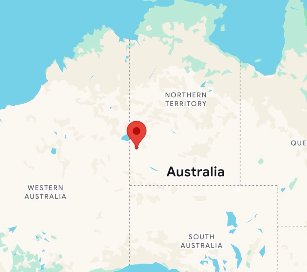
Map coordinates: 23.1951°S, 129.5608°E